



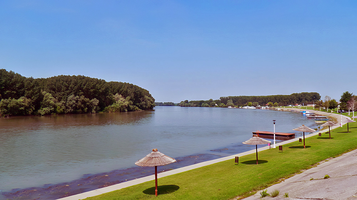
Our compatriot, Engineer Vasa Popović, in his book "The Development of Water Management in the Area of Novi Bečej from 1845 to 1995," provides a wealth of data and beautiful photographs. Among other things, he writes:
"From 1850 to 1875, works on regulating the Tisza River were carried out and completed with the excavation of 110 channels. By the end of the century, an additional 2 channels were excavated, so that the regulation of the Tisza was completed with 112 channels, totaling 136 km, which shortened the original course of the Tisza River to 966 km." Before the regulation, its length was 1,419 km.
According to the data provided by Engineer Popović on page 17 of the aforementioned book, the Bordjoški channel is 6,302 meters long, reducing the Biserno Island meander to 23,060 meters. In my book "Novi Bečej and Vranjevo through History" on page 91, using data from Branislav Bukurov's "The Tisza Valley in Yugoslavia," I stated that this channel is 8.3 kilometers long or 2 kilometers longer than what Engineer Popović reported. Since Engineer Popović used data from the Novi Bečej Water Community and lives, so to speak, on the spot, I believe his data is accurate and should be taken into account.
"The Tisza has a wide riverbed, for example, at Vásárosnamény, its width is about 100 meters, at Szeged about 190 meters, at Novi Bečej about 210 meters, and at its confluence with the Danube, the riverbed width is 240 meters."
"The depth of the Tisza Riverbed at low water is 3.9-4.4 meters, with some places being deeper, and it is not uncommon to find depths of up to 20 meters. In the past, there were shallow spots at low water that made navigation difficult."
The slopes along the Tisza River are generally small, averaging 3.6 cm/km. The slopes of low water levels in the lower course range from 1-3 cm/km on average.
Although the Tisza, despite being regulated, has many curves and small slopes, it is among the slowest rivers in the world. However, despite these characteristics, no sandbars form in its bed because it has deeply carved into sandy and silty terrains, where it has formed a deep channel with a favorable profile, which has the beneficial effect of giving it a relatively higher speed than rivers with steeper slopes but shallower beds. For this reason, the Tisza cleans its bed as it has enough traction power to transport sediment.
Since we used the Galadska stream in determining the name of Vranjevo, we will present here what Engineer Popović, among other things, says about it:
"In addition to the mentioned watercourses in our area, the Galadska stream also flowed. Its source was in Romania, and it flowed through Kikinda, past Arača, and south of Novo Miloševo, and north of Novi Bečej, it flowed into the Tisza.
Galadska was once a natural watercourse, but over time it was meliorated and became the main channel and recipient for excess water drainage. At the beginning of this century, Galadska was connected with Zlatica in the Romanian part of the basin and no longer carries water into Yugoslavia."
It is interesting to note two more pieces of data provided by Engineer Popović in his book related to Novi Bečej and its Tisza riverbank:
The construction of the Tisza quay—a masonry embankment in Novi Bečej—was carried out by the state as part of regulatory works in 1895-1896. This quay existed until 1980 when a new quay was built in its place.
Similarly, the Novi Bečej Water Cooperative, about 2 km downstream from Novi Bečej, "defended its embankment at 40 markers, with the aim of pushing the river's current further from the shore. These markers are now flooded by the Tisza River's backwater after the construction of the dam, but older sport fishermen remember them as 'spurs.'"


Comments