



The first written mention of the name Bečej in history is the one presented by Đerđ Đefri in his book Historical Geography of Hungary during the Árpád Era. In that book, in the chapter on the county of Bačka on page 214, he writes among other things:
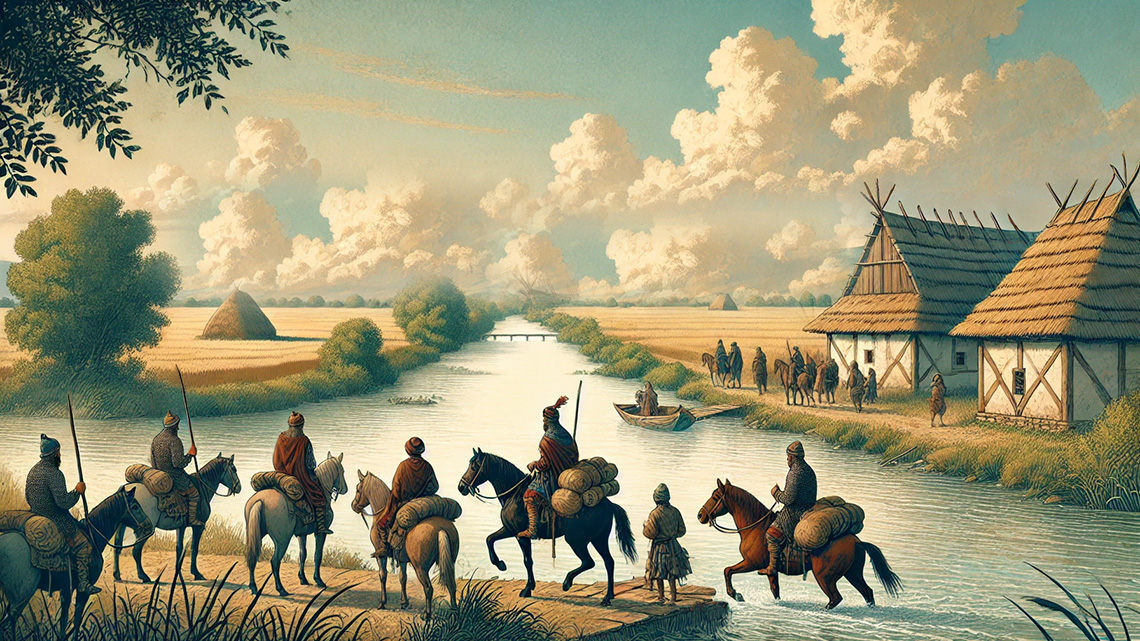
"An important crossing of the Tisa in 1091. The Kuman leader Kapolč, coming from the direction of Tokaj, crossed the Tisa here (meaning near Bečej) with his plundering troops, intending to leave the country at the Lower Danube."
In a footnote, the author explains that it refers to Bečej in Bačka, which is a rather unreliable claim. From the text of the book, it is clear that the Kumans crossed the Tisa near Tokaj and then headed further on a plundering expedition in the area between the Tisa and Danube. After that, in 1091, they crossed from the right to the left bank of the Tisa near Bečej, but in our opinion, the one in Banat.
Đerfi probably copied this mistake from the book Scriptores rerum Hungaricarum dacum reguque stirpis Arpadianae gestarum, published in 1937 in Budapest, where on page 412 Bečej is mentioned, and the author explains in a footnote that it refers to "Vicus Obecse" (Old Bečej) in Bačka.
Regarding which Bečej is meant, one should consider the living conditions and the appearance of these small settlements at the end of the eleventh century (1091). People lived in huts, earthen dwellings, or semi-subterranean houses, and the population engaged in livestock farming, which facilitated moving from one place to another where the pasture was better.
At that time, landmarks could be not small settled places of ten to twenty huts but rather hills and mountains, rivers and their tributaries, or river mouths, and of course, fortresses.
Supporting this claim is a fact from the book Serbs in Bačka until the End of the 18th Century by Dušan Popović, Belgrade 1952, where on page 77 it states:
"Bečej is not mentioned during the Turkish period, although many villages in the vicinity of Bečej are mentioned, such as Bela, Botra, Perlek, Kutež, Ketvila, and others..."
Some historians, using the writing of Radovan Samardžić in the book Suleiman and Roxelana on page 338, which reads:
"The settlement Bečej, on the right bank of the Tisa, surrounded by deep moats and protected from all sides by swamps, sacrificed itself, with all women and children, when on October 5th, it was conquered and, having been destroyed to its foundations, was razed by the Turks with their fury. The Turks shed more blood there than under all Hungarian fortresses combined. And they lost more prominent leaders there than on the Mohač field."
This explains the disappearance of the name Bečej after the expulsion of the Turks from Bačka.
No one disputes this, but it does not prove that even such a Bečej in Bačka could have been a landmark in 1091 for Kapolč and his Kumans. It could only have been a fortress in those regions, which existed at that time near Novi Bečej in Banat.
Considering everything mentioned above, we cannot agree with Mr. Aleksandar Kasaš’s claim in the book Greetings from Novi Bečej on page 12, where it states:
"The first more reliable historical data on the existence of a fortified city near Novi Bečej, and the settlement itself, date back to 1238, when they are mentioned in a charter from the Hungarian King Béla IV."
The turbulent medieval times, marked by frequent wars, especially Crusades, increased the strategic importance of the crossing near today's Novi Bečej, leading to the construction of the only fortified town in this part of the Tisa between 1300-1320. As a typical river fortress, it served to protect the transport of various goods, especially salt and wheat..."
I do not know what Mr. Kasaš criticizes about the data presented by Đerđ Đerfi in his book Historical Geography of Hungary during the Árpád Era, where Bečej is mentioned almost 150 years earlier than in Béla IV’s charter. Why is this "more reliable"? When it comes to this charter, the dilemma Kasaš presents is that it covered the "fortified city on the Tisa near Novi Bečej" in 1238, while according to him, the fortress was built only between 1300-1320?!
In the first period of its re-establishment - writes Sentklaraji - Bečej was incorporated into the former Bečej County, which perhaps got its name from the later Great Bečkerek, which was also called Beče at first. The boundaries of the counties were often changed from Prince Gejza onward, but this author believes that the former Bečej County is identical to the Torontal County.
Dr. Šamu Borovski, in his book Torontal varmegve Tortenete on page 365, writes that Bečej, referring to Bečej in Banat - Torontal County, was the seat of the county in the 14th and 15th centuries.

Comments