")
")
The Tisa is a major international river and the largest tributary of the Danube, flowing through four countries. Its total length is 966 km, with 164 km passing through Serbia. The river originates in the Carpathians at an altitude of 1,800 meters, but after 266 km of its upper course, near the mouth of the Samoš, it descends to just above 200 meters, gradually sloping to its confluence with the Danube.
Before its regulation, its length was 1,419 km. After regulation in the second half of the 19th century, it was shortened by 453 km to its present length of 966 km. The Tisa basin is the former floor of the Pannonian Sea, and its upper course stretches from the source (Bela and Crna Tisa) to the mouth of Samoš, the middle course from Samoš to the mouth of Moriš, and the lower course from the mouth of Moriš to its confluence with the Danube near Slankamen.
The Tisa flows from the tripoint of Ukraine, Slovakia, and Hungary, near the town of Čop, southwestward to Szolnok, and then continues in a north-south direction to the Danube. The total drainage area of the Tisa is 157,186 km², with the following distribution by country:
- Ukraine: 12,575 km² (8.0%)
- Slovakia: 14,933 km² (9.5%)
- Romania: 74,663 km² (47.5%)
- Hungary: 47,156 km² (30.0%)
- Yugoslavia: 7,859 km² (5.0%)
The distribution of the drainage area by altitude is as follows:
- Above 1,600 m: 1,037 km² (0.7%)
- From 1,600-800 m: 28,961 km² (18.4%)
- From 800-600 m: 54,119 km² (34.4%)
- Below 600 m: 73,069 km² (46.5%)
The land configuration within the drainage area is:
- Plain areas: 45%
- Hilly areas: 31%
- Mountainous areas: 24%
As seen from the above, the Tisa basin is characterized as a lowland river. The basin is covered by forest over 26% of its area, which reduces the speed of runoff, prevents erosion, and limits sedimentation (gravel, sand, mud). The terrain configuration indicates that the basin is limited by high mountains, except on the western side, where the mountain peaks are below the permanent snowline. The middle and lower sections of the basin consist of wide plains with minimal precipitation.
The Tisa has several tributaries, mostly on its left side: Samoš, Kereš, and Moriš in Hungary, and Zlatica and Begej in Yugoslavia, with their upper courses in Romania. The left tributaries of the Tisa include Bodrog, Šajo, and Zađva.
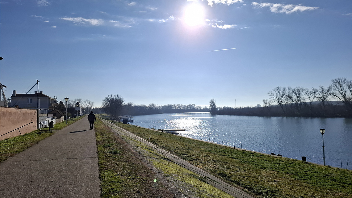
The riverbed of the Tisa is wide. For example, near Vašarošnemeni, its width is about 100 meters; near Szeged, it is around 190 meters; near Novi Bečej, it is about 210 meters; and at the mouth into the Danube, the width of the riverbed is about 240 meters. The riverbed depth of the Tisa, when the water level is low, ranges from 3.9 to 4.4 meters, with some places being even deeper, sometimes up to 20 meters. In the past, shallow areas made navigation difficult, but since the regulation of the river, such areas have been mostly eliminated, at least in the Serbian section of the river.
The average gradient of the Tisa is generally low, ranging from 3 to 6 cm/km. In the lower course, the gradient of small water levels averages 1 to 3 cm/km. These small gradients are a result of the river flowing through a flat region, making it a slow-moving river.
Although the Tisa has numerous bends and minor gradients, it is considered one of the slowest rivers in the world. However, despite this, no sandbars form in its riverbed, as the river has carved a deep channel through sandy and muddy terrain, creating a riverbed with a favorable profile. This results in relatively high velocity at low gradients, as the river has sufficient pulling power to transport sediment.
The river speed in the Yugoslav section ranges from 0.36 to 1.18 m/s, with an average of 0.60 m/s. On average, around 30 billion cubic meters of water flow through the Tisa annually.
The Tisa is navigable up to Tokaj. After the construction of steps, its navigability has improved.
The water level in the Tisa is primarily influenced by snowfall in the Carpathians and precipitation along its entire basin. The highest precipitation occurs in the northeastern part of its basin, with significantly lower amounts further downstream from the mouth of Samoš, where the annual precipitation is only 550-600 mm.
Large flood events typically occur in early spring due to snowmelt in the Carpathians and in May due to heavy spring rains. Autumn rains may also raise the water levels, but to a lesser extent compared to spring. High water levels are generally observed in April and again in late October or early November. Severe floods may also occur in January as a result of heavy winter rains and simultaneous snowmelt in the Carpathians. The lower Tisa section may also be affected by high waters from the Danube.
Long summer droughts result in minimal water levels, usually in September and October, but sometimes low water levels are recorded at the end or beginning of the year.
Since the regulation of the Tisa, ice blockages have not been a problem. Melting occurs earlier in the lower course, allowing ice from the upper course to flow freely. In the past, during harsh winters, villagers used sleds pulled by horses to cross the Tisa between Banat and Bačka.
Notable high water levels were recorded in 1855, 1876, 1879, 1881, 1895, 1907, 1914, 1919, 1924, 1926, 1932, 1937, 1940-1942, 1944, 1962, 1965-1967, 1970, 1974-1975, 1977, 1979, 1981, and 1988. The maximum recorded water level was in 1970, reaching +785 cm at the Novi Bečej gauge.
The lowest water levels were recorded in 1892, 1904, 1909, 1921, 1933, 1946-1947, and 1973, with an absolute minimum of -254 cm recorded in 1947 at the Novi Bečej gauge.
The Novi Bečej gauge station was established in 1855, and since then, water levels have been consistently monitored.
Of course, there have been many other wet and dry years, though not as extreme or catastrophic.
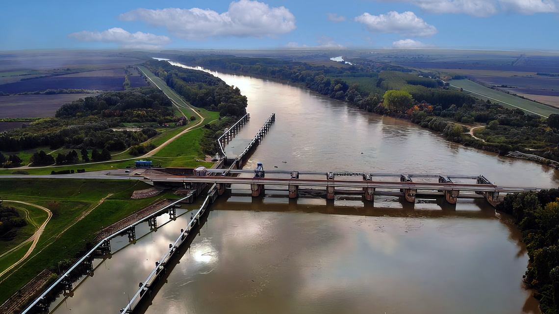
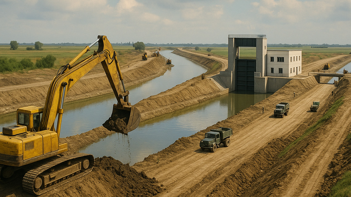
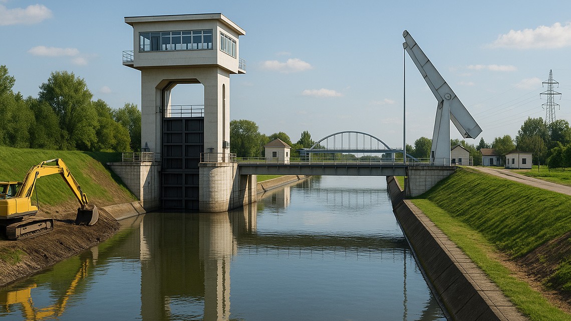
It is worth mentioning that in 1977, a step, or dam, was constructed on the Tisa River near Novi Bečej to provide gravity-based water supply for the Banat region of the DTD Hydrosystem. Previously, steps/dams had been constructed on the Tisa in Hungary, including the Kiškere and Tisalek dams, at the following locations:
- Novi Bečej, km 63, built in 1977
- Kiškere, km 403
- Tisalek, km 523, built in 1957
Through collaboration between the riparian countries, further solutions for utilizing the Tisa's potential are expected, including the distribution and protection of water resources and joint investments in infrastructure projects of mutual interest.
The Tisa River serves a range of vital functions that have become even more important in the current era. Some drainage systems direct excess water from their basins into the Tisa, both by gravity and through pumping stations. Excess water is also drained from populated areas.
Flood protection measures are taken according to the level of risk, with protective structures (embankments) maintained, and the Tisa's riverbed and banks are regularly managed. The Tisa also provides favorable conditions for irrigation, as it is relatively rich in water, supplying the Banat primary canal network.
The river has a significant fish production, with many different species, although the past production was reduced due to the effects of regulation works and deteriorating water quality. Water from the Tisa is also used in fishponds.
Navigation is fully possible on the Serbian section of the river, and the construction of steps has improved navigation through slower water levels.
Hydroelectric potential has not yet been fully utilized, as large investments in building hydroelectric plants in lowland areas would not be cost-effective. Additionally, agreements with neighboring countries would be required, which is often difficult. In recent years, analyses of the hydroelectric potential of Vojvodina's watercourses have been conducted.
Wastewater (municipal, industrial, and other) is also accepted into the Tisa, though it is not sufficiently treated.
Other activities, such as tourism, water sports, and recreational activities, are also present on the Tisa.
Additionally, other Banat watercourses originating in Romania, but whose mouths are in Yugoslavia, carry water from the Romanian Carpathians. In the past, this caused significant problems with drainage and flood protection due to their high water levels in the spring. These watercourses include Zlatica, Galadska, Begej, and others.
In our area, the Galadska stream once flowed. Its source was in Romania, and it passed through Kikinda, near Arača and south of Novi Miloševo, flowing north of Novi Bečej into the Tisa. Originally a natural watercourse, the Galadska has since been modified and is now the main canal for draining excess water. In the early 20th century, it was connected with the Zlatica in Romania and no longer carries water into Yugoslavia.
The Galadska basin covers 843 km², with the length of its riverbed in Yugoslavia being 68.5 km, and it had significant discharge capacity.
With the construction of the DTD Hydrosystem, the Galadska was diverted through the Kikinda Canal in the 1970s, taking on a completely new role.